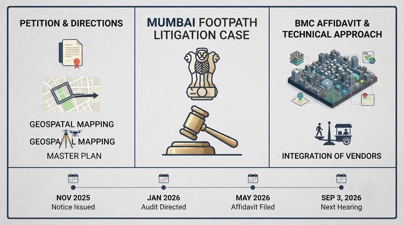
The matter originates from a public interest litigation petition that seeks to enforce pedestrian safety standards and the universal footpath policy adopted by the Brihanmumbai Municipal Corporation in May 2023. In November 2025 a Bench comprising Justices JB Pardiwala and KV Viswanathan issued notice on an application moved by advocate Sunil Ahya. The application requested the applicant sought directions to the municipal authorities to undertake geospatial mapping of pedestrian networks, prepare a city‑wide master pedestrian plan, integrate street vending into footpath planning and establish phased implementation and accountability mechanisms. it also specifically asked the BMC to publish a geospatial digital inventory of all existing and missing footpaths in Mumbai and to submit periodic compliance reports.
Directions Issued by the Supreme Court
When the matter was taken up in January 2026 the Court directed the BMC to consider auditing defined stretches of footpaths across the city. the Bench suggested that at least one kilometre of footpaths in every ward, particularly in crowded areas, be audited. it further permitted the applicant to identify stretches requiring urgent remedial action. the order was passed to facilitate a systematic assessment of the current state of pedestrian infrastructure.
BMC’s Affidavit and Technical Approach
In compliance with the January order the Brihanmumbai Municipal Corporation filed an affidavit on 20 May 2026. the affidavit states that the corporation is preparing India’s first city‑wide master pedestrian network plan for Mumbai. the plan will be developed using the BMC’s three‑dimensional city model integrated with Geographic Information System mapping, satellite imagery, LiDAR surveys, drone mapping, development plan data and other geospatial datasets. the civic body explained that the exercise aims to move away from fragmented footpaths that begin and end abruptly and to adopt a scientific, city‑wide approach to pedestrian planning.
According to the affidavit the BMC has already begun collecting ward‑wise data on existing footpaths, missing links, discontinuities, connectivity gaps and inaccessible stretches. this effort is intended to create a comprehensive geospatial inventory of pedestrian infrastructure. a city‑wide geospatial mapping exercise is currently under way to identify existing footpaths, roads where footpaths are absent, missing pedestrian links, discontinuous stretches and accessibility gaps across Mumbai.
The affidavit further notes that the collected data will be integrated with the three‑dimensional city model, enabling authorities to digitally visualise roads, footpaths, transport corridors, public utilities and other urban infrastructure on a single platform. this platform is expected to help identify missing footpath links, encroachments and accessibility gaps while facilitating the preparation of the master pedestrian network plan.
Provisions of the Proposed Master Plan
The BMC told the Court that the proposed master plan will identify missing pedestrian links, prioritise connectivity corridors, improve accessibility and integrate pedestrian infrastructure with public transport through coordinated efforts of various municipal departments. the corporation also said it is establishing an institutional mechanism under its Chief Engineer (Roads & Traffic) Department to coordinate data collection, GIS mapping, planning, implementation and monitoring of pedestrian infrastructure projects.
Treatment of Street Vendors
On the issue of street vendors the affidavit clarifies that regulation and rehabilitation of hawkers will continue to be governed by the Street Vendors (Protection of Livelihood and Regulation of Street Vending) Act 2014, the Maharashtra Rules of 2016 and the Street Vendors Scheme 2017 through the Town Vending Committee. appropriate steps will be taken while balancing pedestrian movement and accessibility, as stated in the affidavit.
Procedural Status
With the BMC’s May 20 affidavit taken on record the Supreme Court has scheduled the next hearing for 3 September 2026. the matter remains pending before the Bench of Justices JB Pardiwala and KV Viswanathan.